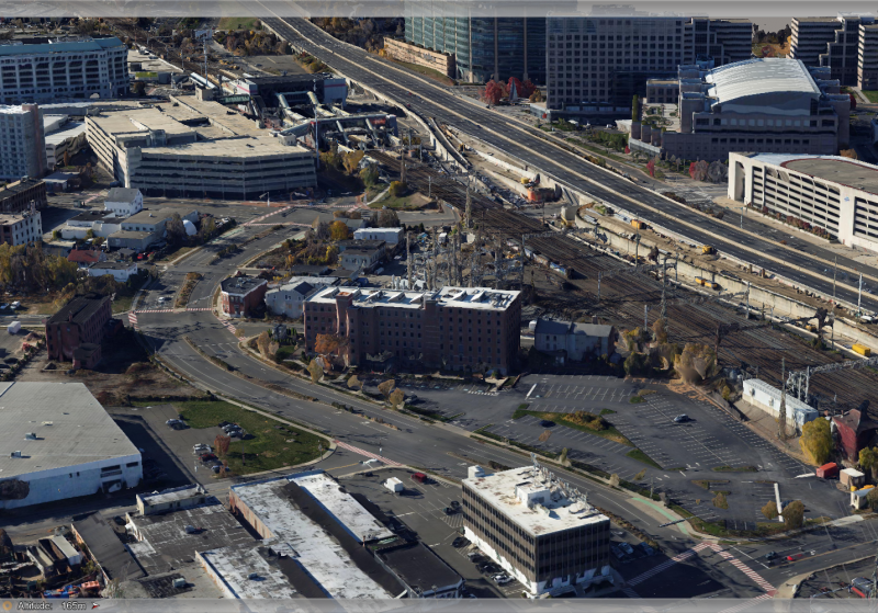
APEM Inc provide a wide range of remote sensing services in support of railroad enhancement, ongoing maintenance, and new infrastructure schemes.
Railways are a vital part of our transport network. Alongside improvements and maintenance, there are inevitable new developments in railways infrastructure. This is where our specialist experience and extensive geospatial toolset can help.
Our unique blend of environmental consulting and state-of-the-art remote sensing services helps us support our clients to understand and consequently protect the local and wider environment.
For our clients in railways and infrastructure, our specialists provide ultra-high-resolution 3D data and on-the-ground terrestrial and aquatic ecological consultancy and field support.
Our services for construction and maintenance of railway infrastructure include:
The team at APEM Inc would be happy to answer any questions you have about railway development. Please use the form below to get in touch.
Read one of APEM Inc’s blogs, news articles or case studies to find out more.
Ambiente srl, one of Italy’s leading environmental engineering...
APEM Group today announced further expansion to our Australian business as AARC Environmental Solutions
APEM Group establishes North American presence as CSA Ocean Sc...

APEM Group today announced further expansion to our Australian business as AARC Environmental Solutions

