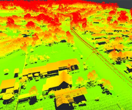
3D modeling of the environment
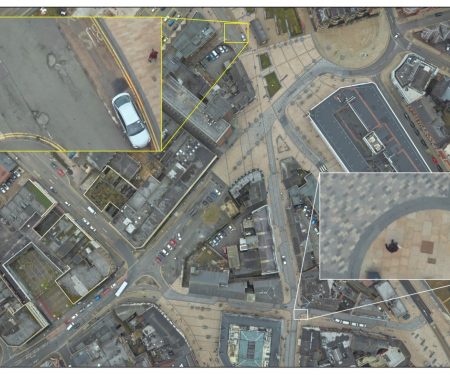
Producing photo-realistic, fully interactive 3D models from ultra-high resolution aerial survey data.
The needs of our clients change all the time – and so do their regulatory requirements. Our technical experts and niche specialist teams offer a wide range of services, ensuring a bespoke approach to each project.

Producing photo-realistic, fully interactive 3D models from ultra-high resolution aerial survey data.

Innovative technology and years of practical experience inform our industry-leading, best practice approach to survey design for birds and marine mammals.
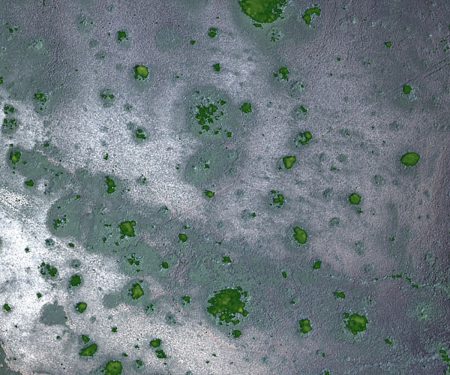
Our remote sensing team use data from satellites and high-resolution aerial surveys to develop models that map and quantify land use, condition and type.
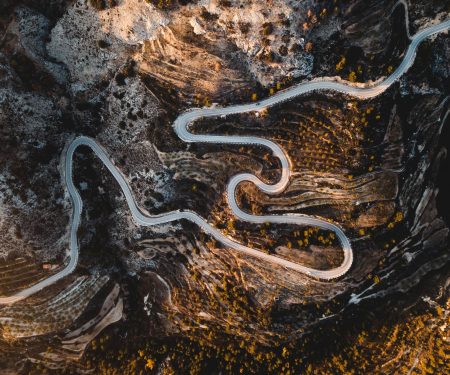
A global leader in designing and undertaking aerial survey corridor mapping of natural and human-made linear features.
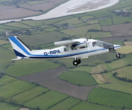
APEM Inc use specialist sensors mounted in purpose designed survey aircraft to capture high resolution data of the landscape.

Digital aerial surveys are a quick and cost-effective way to map pipe routes and identify leaks for clean water and wastewater networks.

Thermal aerial surveys to capture information on heat loss and thermal inefficiencies of residential and industrial properties and utility assets.
Producing ultra-high resolution images of a wide variety of habitats using state-of-the-art remote sensing techniques and specialist survey aircraft.

Ultra-high resolution aerial surveys to identify invasive plant species such as Purple Loosestrife (Lythrum salicaria) and Kudzu (Pueraria montana var. lobata).

Planning and undertaking unique, ultra-high resolution aerial surveys and analyzing the results to quickly identify sewage misconnections.

Modeling techniques to estimate the size of seabird, marine mammal and other wildlife populations, and how environmental changes affect them.
APEM Inc provide a range of consultancy, field, and remote sensing services in support of highways enhancement, maintenance and construction.

Remote sensing services in support of housing and infrastructure construction and mitigation.

APEM Inc provide a range of consultancy, field, and remote sensing services in support of railroad development, maintenance and construction.
Specialists in aerial surveys, geospatial data and consultancy for infrastructure and development.

Ultra-high resolution aerial surveys to collect data and identify thermal plumes.
