Using a range of modeling techniques, our scientists estimate the size of seabird, marine mammal and other wildlife populations, and how their numbers might be affected by environmental changes.
APEM Inc have worked with clients on a wide range of projects, supporting Construction and Operations Plans (COP) with advice on setting conservation objectives, associated permitting and best management practices.
APEM Inc have been working on offshore wind projects across the world for 14 years, and in the US since 2012. During this time, we have developed our technology, offering innovative, tailored solutions that meet the necessary legislation for the location surveyed.
Our best practice approach to surveying comes from years of experience and innovation. Although we were an early adopter of digital survey methods, we are constantly looking at new methodologies and ways of working, to ensure that we deliver robust and reliable data to our clients. An example of this is our use of LiDAR to record bird flight heights in place of traditional boat-based methods.
Our seabird and marine modelling services include:
The team at APEM Inc would be happy to answer any questions you have about wildlife modeling. Please use the form below to get in touch.
Read one of APEM Inc’s blogs, news articles or case studies to find out more.
APEM Group pioneers the use of LiDAR to record bird flight hei...
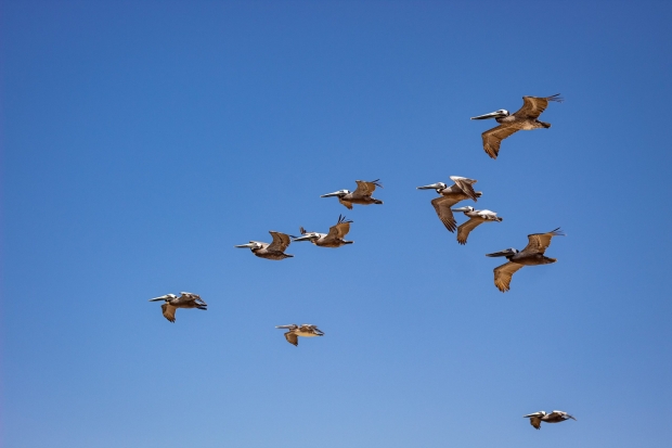
APEM pioneers the use of LiDAR to record bird flight heights. High resolution digital aerial surveys are now the go-to method to more accurately model flight height distributions.
Boat-based vs aerial digital still offshore wildlife surveys

We discuss which is the best method for offshore wildlife surveys – boat-based or aerial digital stills.
Getting it right – the importance of wildlife aerial survey de...

Every wildlife survey is different, and at APEM we pride ourselves on understanding our clients’ needs and getting the design of a survey right first time.