Mapping marine natural capital
A ground-breaking new system for mapping natural capital in marine and coastal environments is being developed by APEM Group and Viridian Logic for Natural England.

The system will allow baseline assessments to be created against which changes in natural capital can be measured in the future and is being trialed on three marine protected areas.
This project and its outcomes will form part of a wider evidence base and approach being led by Natural England for both marine and terrestrial environments nationally and locally.
It provides users such as researchers or the public with a systematic approach for mapping the ecological and environmental features of an area and assessing the natural capital and benefits that flow from them.
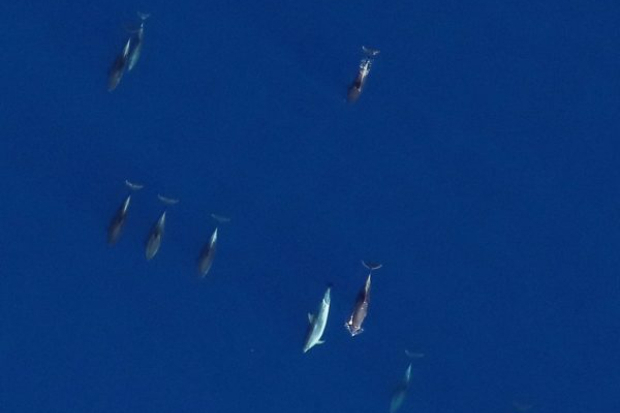
Natural capital – an area’s natural features such as beaches, spawning grounds, and estuaries – provides economic value and benefits known as ecosystems services through, for example, recreation or fisheries.
The first step for APEM’s scientists has been to find high-quality, publicaly accessible scientific data to base the maps on, using natural capital indicators and data sources identified by Natural England as part of their indicators project. The second step is to work out a reliable, repeatable method for producing maps of natural capital that can be widely and consistently applied.
Finding appropriate datasets is not an easy task as they must be readily available to users online and cover a wide variety of topics from water quality to biodiversity, habitats, historical features and public footpaths. Data from universities, local authorities, and government agencies like Natural England and the Environment Agency is among the most useful.
APEM Group’s lead natural capital scientist, Dr. Mark Barnett, said:
This is the first time that anyone has developed a systematic method for regulators like Natural England to use in assessing natural capital in marine environments.
To do it, Natural England turned the normal process on its head. Instead of starting with the data and developing a methodology based on whatever data is available, they identified what are good indicators of the quantity and quality of natural capital and our marine environment and the services it provides.
To assist with this we’ve been tasked with formulating a reliable approach and then finding accessible sources of data that can be used to create the maps based on these indicators.
It’s a much more sensible approach because it allows us to create something that is standardized. Until now, researchers have pretty much been doing their own thing, which means that the assessments they produce are often not comparable either with each other or over time.
Baseline maps, as well as tabulated results, of the natural capital and ecosystem services at three marine protected areas will be produced as examples of how to use the new approach. A template tool will provide researchers with a step-by-step process for applying the approach in their own areas so that they can create comparable maps.
The project is due to complete by March 2019.
Marine Environmental Impact Assessments (EIAs)
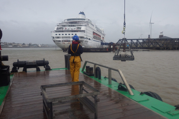
Delivering marine Environmental Impact Assessments (EIAs), a requirement for coastal and offshore projects including port, harbor and marina developments.