H2OVER® – going above and beyond
In 2020 APEM Group launched their unique H2OVER® offering, a super-sized, high-resolution survey that allows a user to ‘virtually’ drive or fly through an area from their desktop.
Over 12 months on and the offering has been taken up by several clients across a range of industries. Read on to find out more and the benefits it could bring to you…
The advancements in technology in the last five years have been enormous, however, they have really come into their own in the last 12 months and adoption of a digital-first approach is now the norm as confidence has grown.
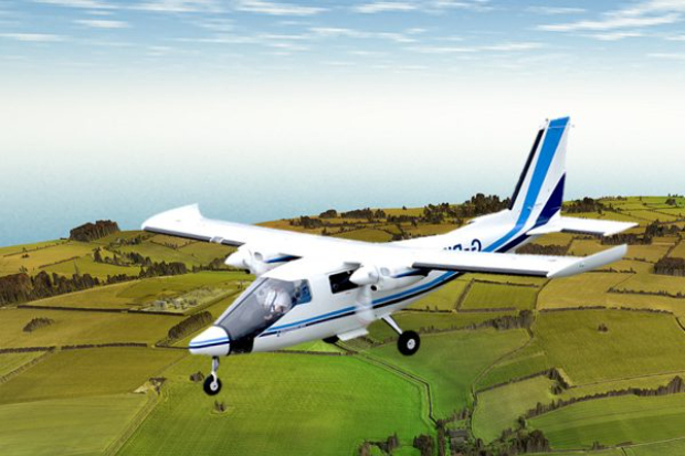
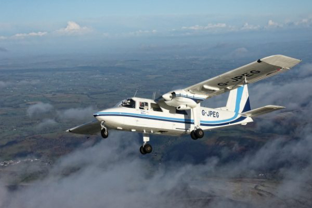
For many years APEM Group have been leading the way in delivering digital aerial surveys across the UK and Ireland, the US and even Asia. We have continuously invested in equipment and software to deliver the results that our clients need.
In a single flight, we can survey a whole region (up to and in excess of 200 square kilometers) covering literally every square inch (or centimeter if you prefer!) in the highest resolution. The detail that is captured has to be seen to be believed and is available at the click of a mouse – see for yourself.

Natural capital is on many businesses’ agenda – are you currently undertaking a review of your natural capital assets?
Natural capital refers to all aspects of the natural environment which provide important or valuable goods and services to people and the community. For example, a woodland can be regarded as a natural capital asset, from which flows valuable benefits, or ecosystem services, such as flood risk reduction and carbon capture.
Natural capital is composed of many assets, including soils, wetlands, urban greenspaces, hedgerows and so on. It is closely related to the concept of green infrastructure, which focuses on the idea that natural features should be planned and managed as networks that deliver value for people.
As these areas can be large and difficult, or costly to cover on foot, a H2OVER® survey is the ideal solution and provides you with a digital resource that you can refer to time and time again to evaluate your natural assets. Habitats can be captured and modeled to show how they will evolve over a season or a longer period of time.
H2OVER® has benefited several clients already, from leakage detection, pollution source mapping, environmental assessments and route proving. They have appreciated the ‘look over the fence’ it provides for inaccessible or remote areas, allowing them to assess catchment options before having to bother customers and stakeholders.
It’s also reduced the amount of site visits that they have had to do, by being able to call up a specific square meter straight away on their desktop within seconds.
To find out more about H2OVER® and how it can be applied to your business, please contact us.
APEM Group surveys Scottish water pipes
APEM Group have completed detailed aerial surveys of over 350 km of water supply pipes across two networks belonging to Scottish Water.